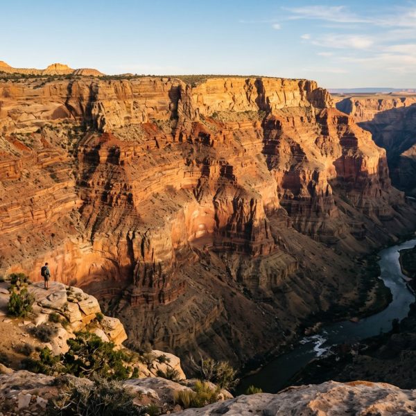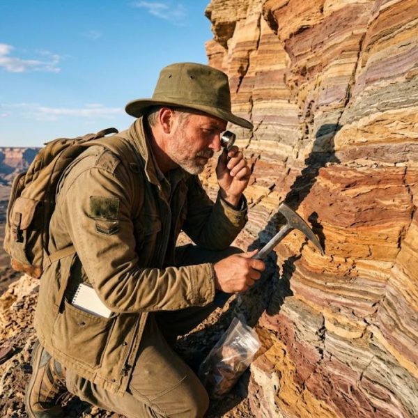
Stand in front of a cliff with stripes of red, grey and yellow rock and you are looking at a history book. Each layer records a moment in the life of the planet: an ancient sea, a desert, a volcanic eruption, a slow river delta. Earth scientists spend their careers learning to read those pages. It is patient work, and it has transformed how we understand our world.
This article looks at how that reading works, the pioneers who made it possible and the surprising role that language has played in spreading their ideas.
The basic grammar of rocks
Geology has a few simple rules that make the story readable. In undisturbed rock, younger layers sit on top of older ones. Layers are originally deposited flat, so tilted or folded layers tell of later forces. Anything that cuts through a layer, such as a crack filled with volcanic rock, must be younger than the layer itself.
With these principles alone, a geologist can put events in order without knowing a single date. Fossils then help link layers in different places, and modern dating methods using radioactive elements add actual numbers.
Fossils as time markers
In the late eighteenth and early nineteenth centuries, the French naturalist Georges Cuvier compared fossil bones with living animals and showed that some species had vanished completely. Extinction, once a shocking idea, became part of science. Around the same time, the English surveyor William Smith noticed that particular fossils always appeared in particular layers, which allowed him to draw the first geological map of a whole country.
Cuvier wrote in French, and much of the early debate about extinction reached English naturalists through translation. Today, museums and publishers revisiting those texts still rely on professional french to english translation services for scientific accuracy, because an eighteenth-century term for a rock type can mean something quite different today.
Alfred Wegener and the moving continents
In 1912, the German meteorologist Alfred Wegener suggested that the continents had once formed a single landmass and had slowly drifted apart. He pointed to matching coastlines, identical fossils on distant continents and rock formations that seemed to continue across oceans. Most geologists rejected the idea for decades because he could not explain the force behind the movement.
His key book was written in German and revised several times. Scholars who study how the theory spread note that translations shaped how it was received. Modern researchers and archives working with his notes and letters still turn to german translation services to capture his careful, sometimes cautious wording. It was only in the 1960s, with the discovery of seafloor spreading, that plate tectonics confirmed much of what Wegener had proposed.
Ice cores, climate archives
Rocks are not the only record. Ice sheets in Greenland and Antarctica contain layers of snow that fell over hundreds of thousands of years. Tiny air bubbles trapped in the ice preserve samples of ancient atmosphere. By drilling long cores and analysing them, scientists can reconstruct past temperatures and greenhouse gas levels with remarkable detail.
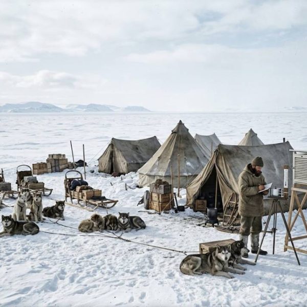
Wegener himself died on the Greenland ice in 1930 during an expedition, long before ice cores became a tool. The place that ended his life later became one of the richest sources of climate data on Earth.
Tools of the modern earth scientist
- Field mapping with hammer, compass and notebook, still essential.
- Satellite imagery to spot faults, folds and landslides from space.
- Radiometric dating to assign ages to rocks and minerals.
- Seismic surveys that reveal structures deep underground.
- Computer models that test how landscapes evolve over millions of years.
Public agencies such as the United States Geological Survey publish maps, data and clear explanations that are useful for students and curious readers alike.
A global science needs a shared vocabulary
Earth science is truly international. A field team in Iceland may include researchers from Germany, Japan, France and Brazil. Reports, grant applications and papers move between languages all the time. Research institutes and scientific publishers that handle this volume of text often use the best translation memory software they can find, so that technical terms like "subduction zone" or "sedimentary basin" are translated identically across thousands of documents.
Consistent terminology is not a detail in science. It is what makes results comparable.
Why reading rocks matters today
Understanding Earth's history is not just academic curiosity. It helps us locate groundwater, assess earthquake and volcanic risk, find the minerals needed for batteries and wind turbines, and understand how the climate has changed before. The layers in a cliff can tell us how fast sea levels rose in the past and what that might mean for coastal cities in the future.
Learning to see the story
You do not need to be a geologist to start reading rocks. Next time you pass a road cutting or a sea cliff, look for layers, tilts and fossils. Ask which came first. Once you start noticing, every landscape becomes a chapter in the long story of our planet.
That shared vocabulary extends to the publications and datasets that follow fieldwork home. A stratigraphy chart, museum label or survey report may be read by specialists abroad who need the same term rendered identically in every figure and caption. Researchers publishing internationally often use language translation services to keep historical names, rock units and methods consistent from abstract to appendix. Consistent wording lets other teams repeat the work instead of guessing what a translated label originally meant.